

Location map

The technology behind urban renewal.
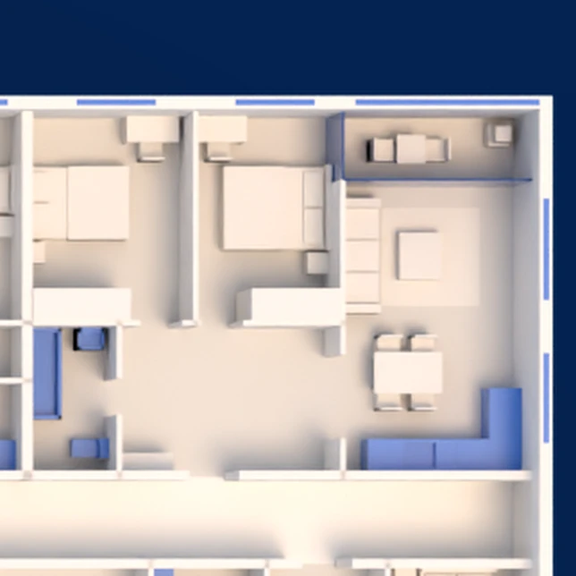
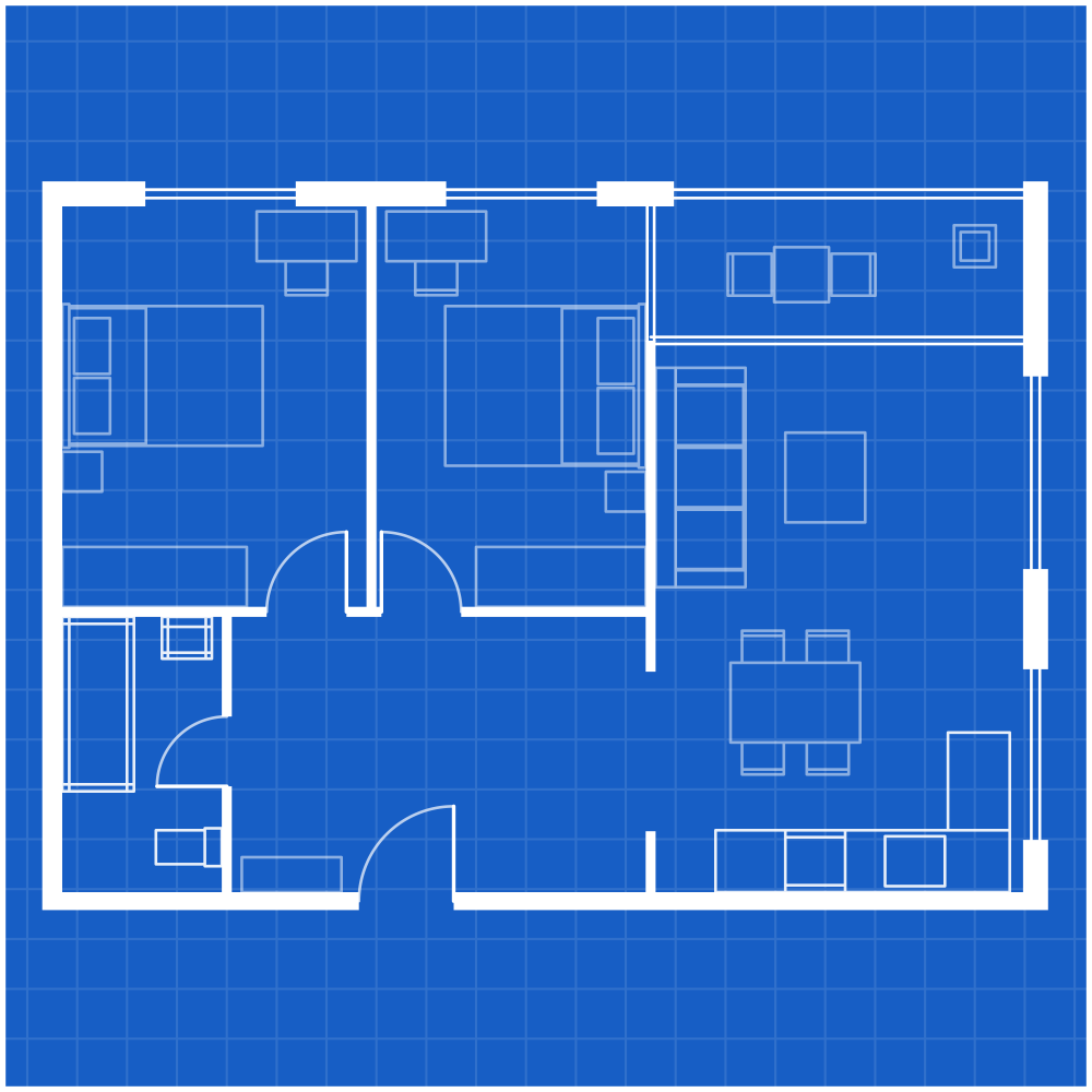
We turn existing buildings into precise plans and data.
Start your project.
Start a project- We measure every building, wall by wall.
- One accurate model of the whole building.
- Floor by floor. Apartment by apartment.
- Plans and data the whole project relies on.
The experience behind GeoState
- years of experience in the field
- 28+
- measurements carried out
- 1,000,000+
- large-scale projects
- 600+


How we work with you
We measure on site.
Every apartment, room by room.
We build one accurate model.
Of the whole complex.
You get plans, data and maps.
Ready for your architect, lawyer and developer.

Measurement errors can cost a project millions.
Every apartment, measured.
Hundreds of apartments in one complex. We survey each one, room by room, so every unit has an exact plan.
Every rights holder, matched.
Dozens of owners. We link each one to their apartment, so every agreement rests on the same data.
Every change, on record.
Closed balconies and added rooms are found and drawn, so nothing surprises the project later.
GeoState measures it right from the start.
Tell us about the complex — we will take it from there.
What the project team receives.
Plans, data, maps and reports, accurate and in one place.
Explore deliverables
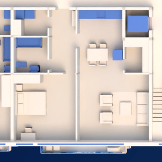
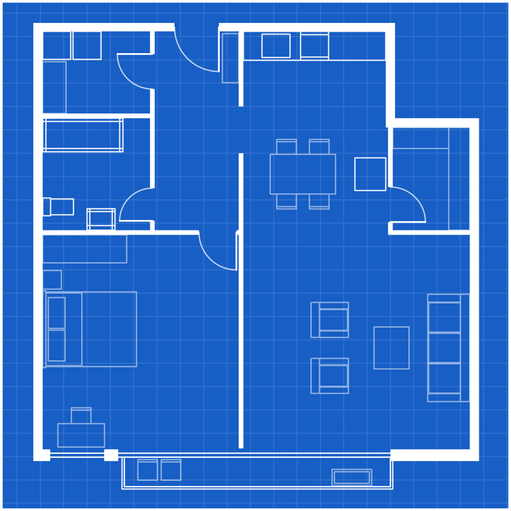
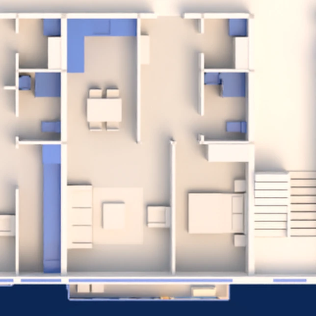
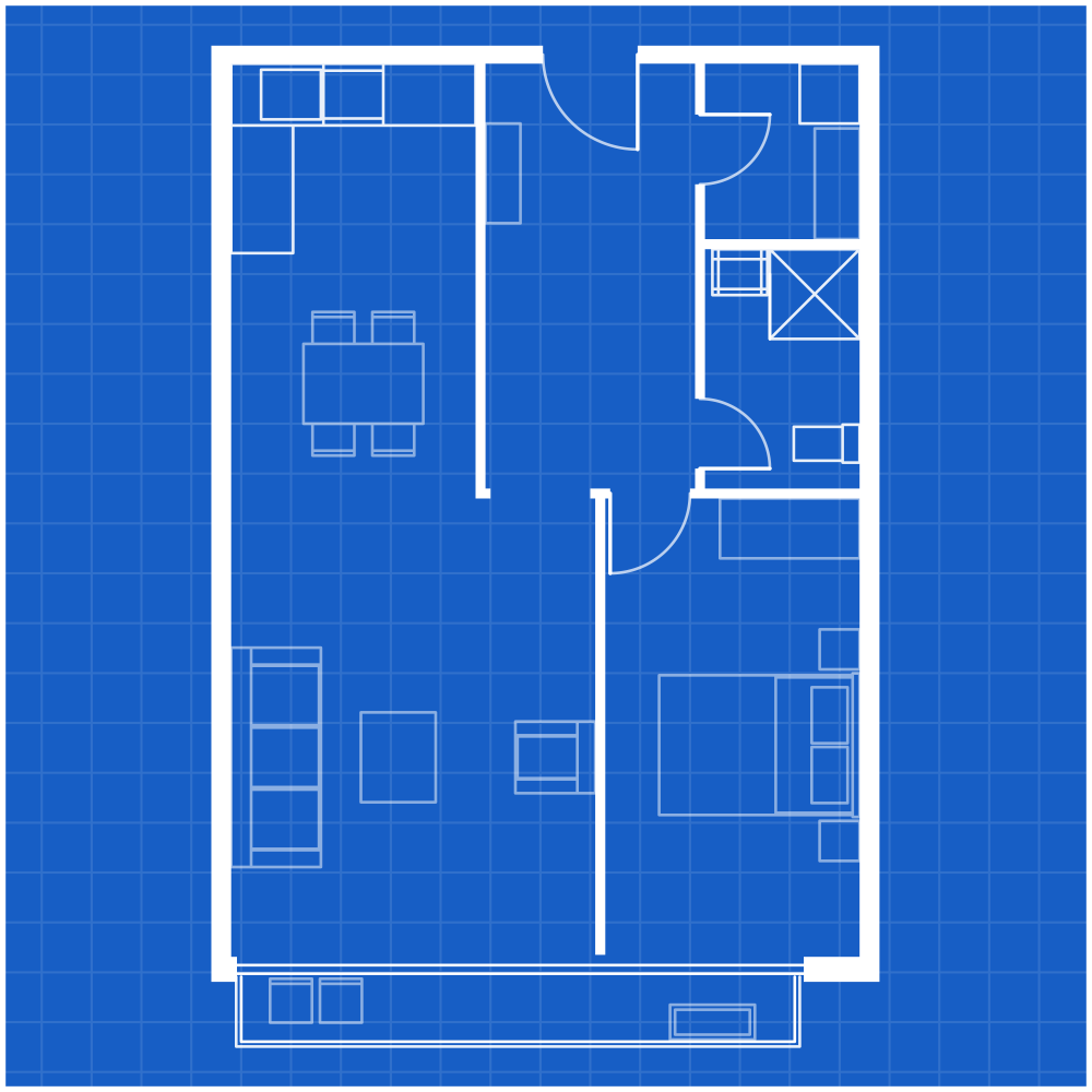
Illustrative examples.
Y.H. Dimri + Israel Land Development Co.
614 existing units → 4,500 planned units.

Illustrative render · massing for scale
See the projectProjects by developer
9 projects, each with a different developer, from a selection of our work.

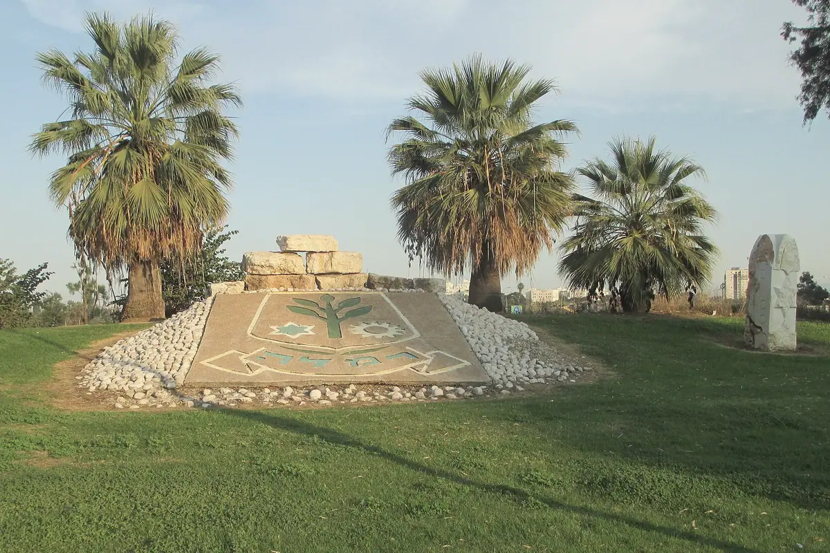
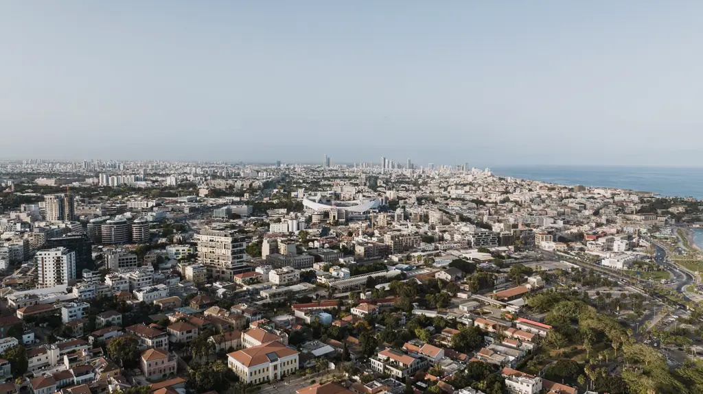
Tel Aviv, HaGolan 136-138
DeveloperDan Nadlan
170existing units

Kfar Saba, Yehezkel & HaNevi'im
DeveloperKidar Projects
138existing units

Netanya, Sheshet HaYamim
DeveloperIsrael Canada (ICR)
121existing units
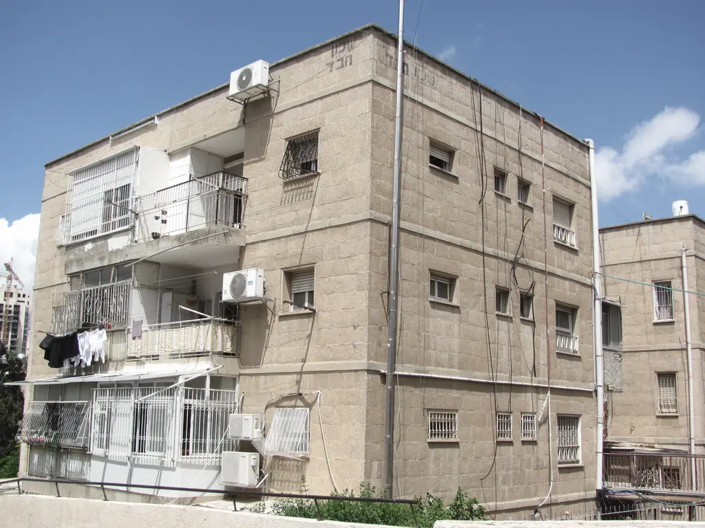
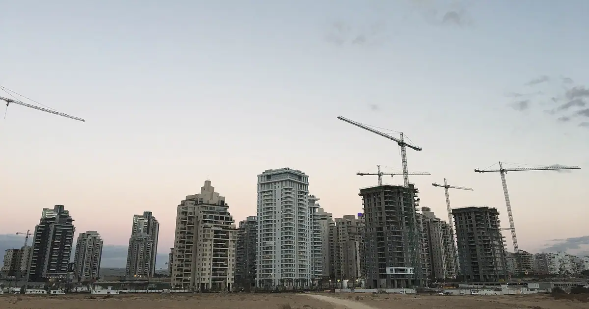
Netanya, Abu Shdid / Ben Avi
DeveloperShikun & Binui
60existing units
- Location map
















Where we measure.
600+ projects across Israel. On the map: 26 cities, with a selection of our projects.
Satellite map of Israel, with the cities of GeoState’s projects.
Imagery: Sentinel-2 cloudless 2016 by EOX IT Services GmbH (contains modified Copernicus Sentinel data 2016), CC BY 4.0, colour-graded · Relief: SRTM via Mapzen Terrain Tiles
Behind every project is a complete operational team.
Technology gives us control over the information. Our teams make sure the project moves forward.
Every GeoState project is supported by an integrated structure of project management, surveying teams, GIS & data, quality control and a dedicated resident-coordination department.

- Project management
- Surveying teams
- GIS & data
- Quality control
- Resident coordination department

Meet Keren Solomon, one of GeoState’s Project Managers.
Keren represents the project-management layer behind our work — maintaining visibility over progress, managing statuses and deliverables, supporting the client and keeping GeoState’s internal teams aligned throughout the project lifecycle.
Keren SolomonProject Manager
Born from GIS.
GeoState grew out of the Orhitec GIS group. 28 years of mapping and measuring now go into every urban-renewal project we take on.

28+ years









What our clients say
GeoState brought us a level of accuracy we had not seen before. The work was done very quickly, with full control of the data throughout the project.
 Yonatan Bar HaimY.H. Dimri
Testimonial 1 of 8
Translated from Hebrew.

Start a project.
Tell us about the complex — the city, number of units and current project stage — and we will get back to you with a tailored scope of work and proposal.
- Office074-712-2222
- WhatsApp054-620-8002
- Emailoffice@geostate.co.il